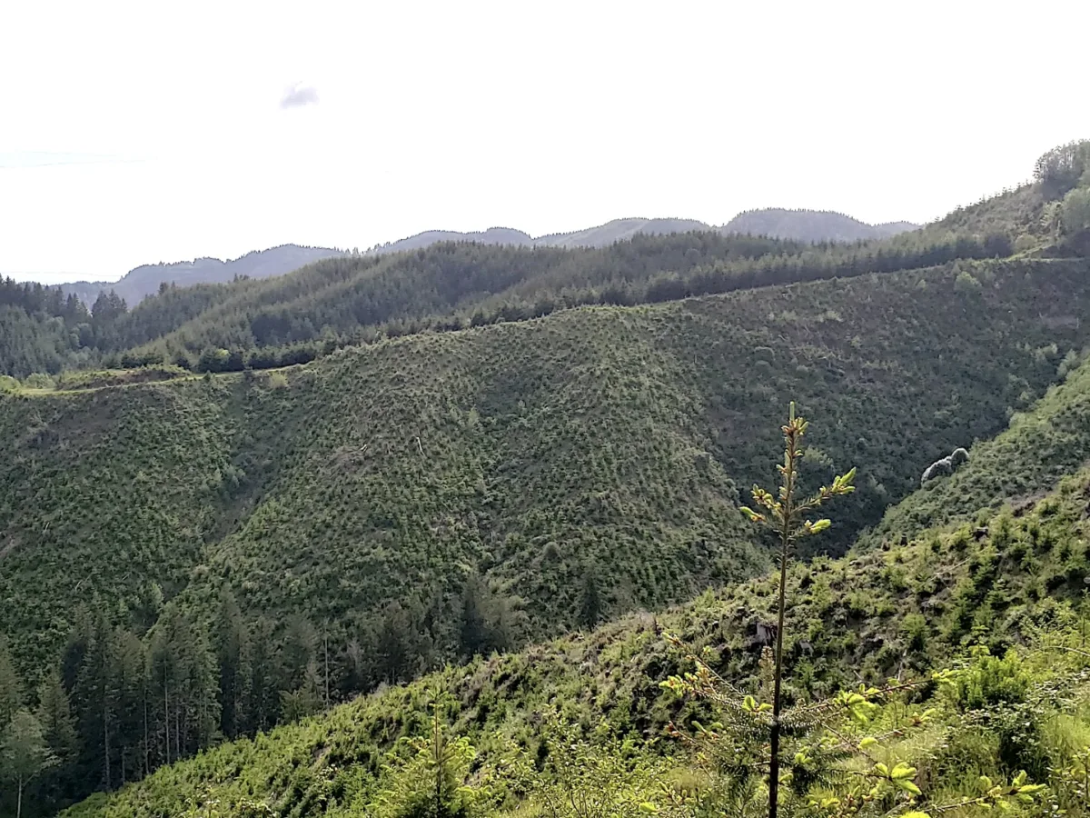
A new study suggests scientists may be able to better predict when and where shallow landslides occur by looking deeper beneath the surface. Research led by UCLA Earth, planetary and space sciences researcher Seulgi Moon shows that hidden layers of weathered rock below the soil play a major role in controlling how groundwater moves through a hillside during a storm. This , in turn, impacts when and where slope failure begins.
Published in PNAS, the study tackles a longstanding problem in landslide science. Researchers already knew that rainfall can destabilize steep, soil-covered slopes, but most models have focused primarily on what happens in the soil itself. What has been much harder to capture is the role of deeper subsurface layers that can store groundwater, redirect it downslope and, in some cases, force it back upward into the soil.
“This research adds to our ability to predict landslide susceptibility and the timing of its occurance, improving early warning and hazard preparedness.” – Seulgi Moon
Moon and her collaborators addressed that problem by linking groundwater flow, slope stability and three-dimensional subsurface structure in a modeling framework calibrated with field data from a well-studied site near Coos Bay, Oregon.
Their results show that the structure of the critical zone — the layer extending from soil through weathered rock to unweathered bedrock — can make a major difference in where shallow landslides occur, how large they become and when they are triggered.
In landscapes with a deeper layer of conductive, weathered bedrock, groundwater can move downward into that subsurface layer and travel through it before reemerging farther downslope. That tends to reduce widespread pressure buildup in surface soils, but it can also create localized zones of instability where the weathered bedrock becomes thinner near channels and hollows.
Where that deeper weathered layer is absent, water is more likely to remain concentrated in the soil. In those cases, the models predicted landslides that were larger, more widespread and more likely to occur earlier in a storm.
“Rain falling on a hillside is only part of the story,” Moon said. “The critical zone structure below the soil affects how groundwater is stored and redirected during a storm, and that can strongly influence when and where shallow landslides begin. This research adds to our ability to predict landslide susceptibility and the timing of its occurance, improving early warning and hazard preparedness.”
The study also helps explain why hillsides that may look similar from the surface can respond very differently to the same storm. Forecasting systems often rely on rainfall intensity and duration thresholds, but those thresholds vary widely from place to place. The findings suggest that differences in subsurface structure may be one reason why.
The work points to another intriguing possibility as well: landslide patterns at the surface may offer clues about what lies underground. Broad failures across a slope may indicate a relatively shallow subsurface system, while more localized failures near the base of hillsides may reflect groundwater moving through deeper weathered rock before returning toward the surface.
By incorporating deep subsurface structure into watershed-scale landslide modeling, Moon and her coauthors provide a more complete picture of how storms destabilize hillsides. The result is a framework that could ultimately help improve landslide hazard assessment by accounting not only for rainfall and topography, but also for the hidden pathways that control how water moves below ground.